CivilGEO Releases Next-Generation 2D River Flood Modeling Software
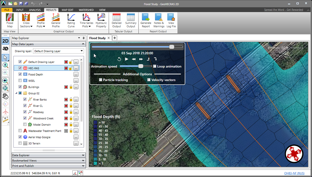
Middleton, WI: CivilGEO has released a new version of GeoHECRAS that greatly speeds up 2D river model creation and review by rapidly constructing HEC‑RAS models from a variety of data sources. Automation for various engineering workflows is provided to compute water surface profiles for both steady and unsteady flow models, bridge and culvert roadway crossings, FEMA floodplain encroachments, and stream restorations. GeoHECRAS provides an AutoCAD, MicroStation and ESRI ArcGIS compatible interactive 2D/3D graphical user interface data wrapper to the US Army Corps of Engineers HEC-RAS.
"We are probably spending half the time building these models as we did before."
Timothy J. Olson, P.E., CFM
Water Resources Project Manager
Bolton & Menk, Inc., Maplewood, MN
About CivilGEO, Inc.: CivilGEO, Inc. is a privately held company headquartered in Middleton, WI, and has multiple offices in Canada, South America, Europe, Asia Pacific Region. It is a leading provider of civil engineering software designed to meet the requirements of civil engineering consulting firms and government agencies worldwide.
Author

Parul Dubey
Stormwater Interview with Robert Page, P.E., Vice President, HNTB

TriMet’s Banfield Type 1 Substation Replacement Project

February Issue 2026
